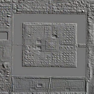
This is a fascinating look at what LiDAR (light detection and ranging or laser imaging, detection, and ranging) technology has revealed about the civilisation that was built up around Angkor in Cambodia.
The episode is presented by Cassie Coppersmith, who gives a very good and clear overview of the findings, and includes many maps of the sites revealed by LiDAR. Cassie has a very good and clear presentation of the materials, and in 20 minutes she manages to pack a huge amount of interesting information.
She also gives good comparisons, which bring out clearly the mamoth scale of the Angkor and surrounding constructions. She starts and finishes by promoting the tours she organises to see some of these features, which I imagine would be amazing to join.
if the video does not appear on the page, try reloading the page; and if that doesn’t work, leave a comment so I can update the page (the comment is not published)
to see an album of screenshots click here